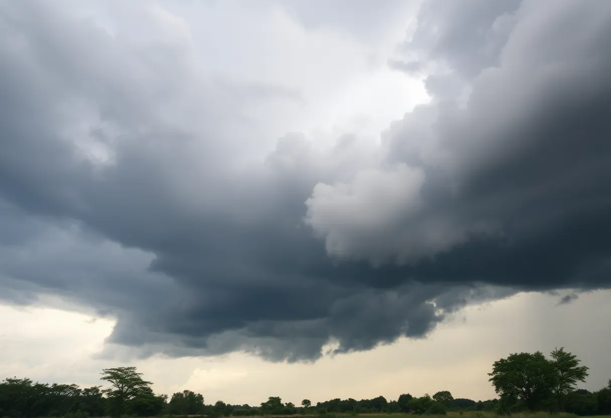
Severe Thunderstorm Warning Hits Local Counties
Columbia, SC – As the sun began to set last Friday evening, residents in Fairfield, Lexington, Newberry, Richland, and Saluda counties received a new severe thunderstorm warning at precisely 8:07 p.m. This warning came just as storms were beginning to stir up trouble in the area, leading to some tense moments for many families as storms were projected to roll in until 8:30 p.m.
The National Weather Service in Columbia reported that at the time of the warning, severe thunderstorms were situated along a line stretching from near Blair to near Prosperity, and up to 11 miles northeast of Saluda. These storms were racing southeast at about 15 mph, with potential wind gusts hitting speeds of up to 60 mph. This is not a small matter! The NWS cautioned residents about possible damage to trees and power lines as the storm loomed closer.
Possible Impact Areas
Several areas were highlighted as especially vulnerable:
- VC Summer Nuclear Station
- Prosperity
- Dreher Island State Park
- Jenkinsville
- Chapin
- Little Mountain
- Pomaria
- Peak
- Lighthouse Marina
- Stoney Hill
- Shull Island
- Fairview Fire Station
- Putnam’s Landing
- White Rock
- Mid-Carolina High School
- Rocky Point Recreation Area
- Wyses Ferry
- Melvin Park
This warning notably included a stretch of Interstate 26 between mile markers 78 and 95, which adds extra concern for any drivers hoping to navigate through the storm.
Safety First!
As the storm approached, the NWS provided guidance to ensure everyone’s safety. They advised residents to find shelter in an interior room on the lowest floor of a building if possible. Thunderstorms typically bring large waves, frequent lightning, and strong winds, which can pose real dangers, especially to those out on Lake Murray. If you find yourself near the water, it’s crucial to move away and take shelter immediately!
The Lightning Factor
Did you know that lightning strikes the United States around 25 million times every year? Most of these strikes occur during the summer months, and sadly, they lead to about 20 fatalities annually, according to the NWS. As thunderstorms move closer, the chances of lightning striking increase dramatically, peaking when the storm is directly overhead before tapering off as it moves away.
Tips for Weathering the Storm
So, how can you stay safe during these storms, especially if you can’t find a safe space indoors? Here are some pointers:
- Stay informed about the latest weather updates and warnings.
- If you’re driving and the rain starts, make sure to reduce your speed and keep a safe distance from other vehicles.
- Avoid standing under trees or near objects that can become projectiles.
- Stay clear of water bodies during the storm.
Hydroplaning Awareness
Speaking of driving, with stormy weather comes the risk of hydroplaning, a term many might be familiar with but may not fully understand. Hydroplaning occurs when water accumulates in front of your vehicle’s tires faster than it can be pushed away, causing your car to lose traction and slide uncontrollably on the wet surface.
The top three contributors to hydroplaning include:
- Excessive speed on wet roads.
- Large amounts of standing water.
- Worn-out tires with insufficient tread depth.
In case you find yourself hydroplaning, remain calm and ease off the accelerator to regain control!
For all residents, please remember to stay updated on the weather, act cautiously, and prioritize safety during these unpredictable storms! Let’s hope everyone made it through the evenings’ storms without too much trouble.


 Mays Contracting

