Severe Thunderstorm Warning Issued for Columbia Residents
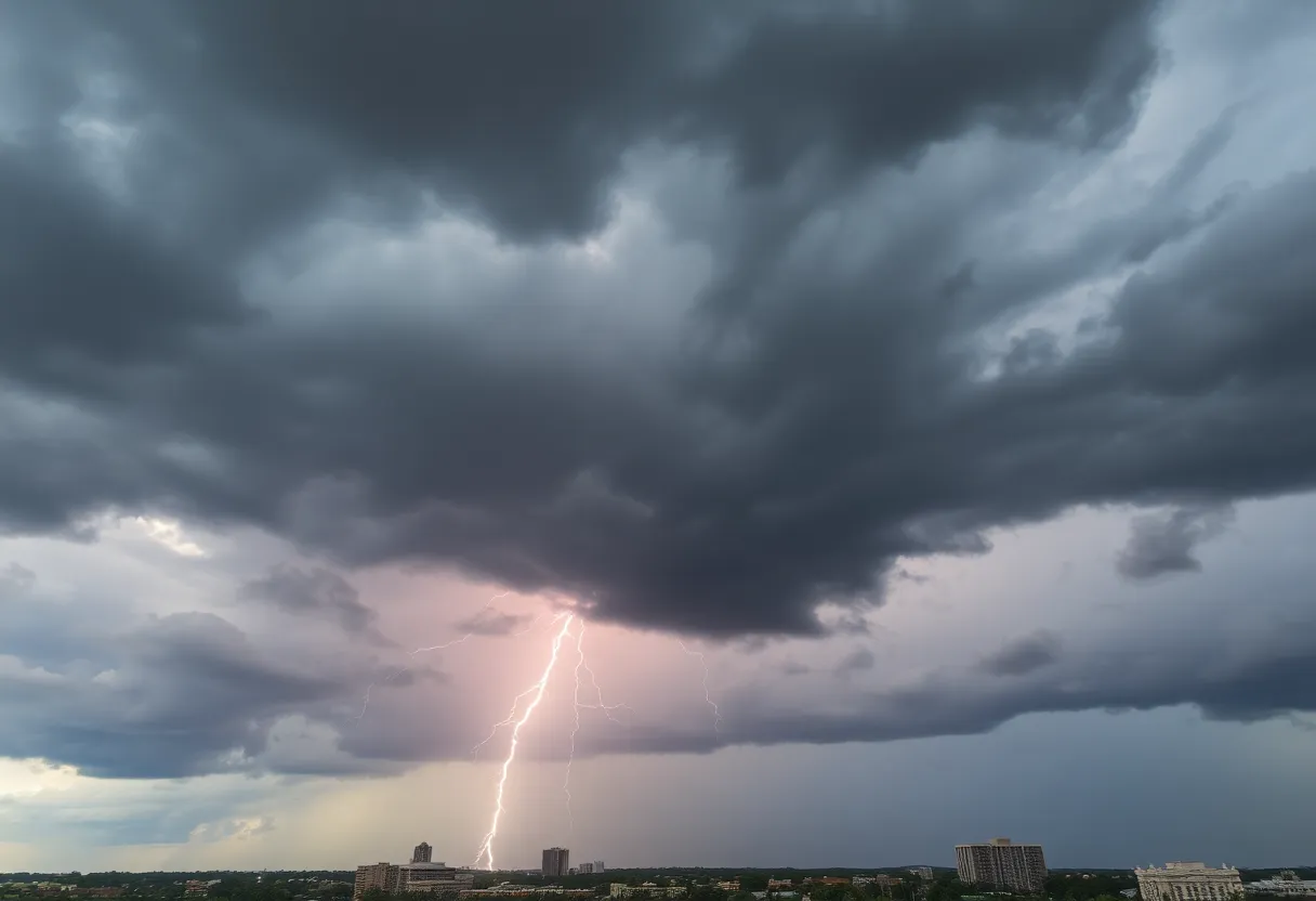
Columbia, SC, is bracing itself tonight as the National Weather Service (NWS) issued an updated severe thunderstorm warning at 9:42 p.m. The warning, which is in effect until 10 p.m., affects the areas of Fairfield, Lexington, and Richland counties. So, if you’re in the vicinity, it’s time to prepare for some wild weather!
What to Expect
The NWS has reported that by 9:41 p.m., severe thunderstorms were forming along a line stretching from near Jenkinsville to near Harbison State Forest, extending to Oak Grove and Red Bank. These storms are moving east at an impressive speed of 45 mph! What does this mean for you? Well, brace for wind gusts that could reach up to 60 mph.
With such powerful winds, there’s a high chance of damage to trees and power lines. Areas likely to feel the strongest impacts from this storm include:
- Columbia
- Lexington
- West Columbia
- Cayce
- Irmo
- Forest Acres
- Springdale
- St. Andrews
- Dentsville
- Oak Grove
- Highway 6 at Lake Murray Dam
- Red Bank
- South Congaree
- Pine Ridge
- Arcadia Lakes
- Columbia International University
- Harbison State Forest
- Sesquicentennial State Park
- Lake Carolina
- SC State Fair Grounds
Keep an eye on the highways, too! The storm will impact major routes including:
- Interstate 126, between mile markers 0 and 3
- Interstate 20, between mile markers 48 and 78
- Interstate 26, between mile markers 90 and 116
- Interstate 77, between mile markers 0 and 2, and 5 and 6, plus 8 and 37
Stay Safe!
The NWS has some important advice for everyone in the affected regions. For your protection, it’s best to move to an interior room on the lowest floor of your home or building. If you happen to be out and about during the storm, try to find a safe place to take shelter.
If you’re not able to find indoor shelter, keep safe in your vehicle if you’re caught driving. One thing to remember when driving in stormy weather is the risk of hydroplaning. This occurs when your car begins to slide uncontrollably on wet roads, and it can happen when there’s too much water on the road’s surface. If your tires can’t push the water out of the way quickly enough, your vehicle can rise up on this layer of water, making steering nearly impossible.
Hydroplaning 101
So, what causes hydroplaning? Here are the three main factors:
- Wet Surfaces: More water on the road means greater chances.
- Speed: The faster you drive over wet conditions, the higher the risk.
- Tire Condition: Worn tires have a harder time gripping the road.
If you find yourself hydroplaning, remember to stay calm. Ease off the gas and try to steer in the direction you want to go without slamming on the brakes.
Final Thoughts
As the clock ticks closer to 10 p.m., keeping an eye on the weather updates is crucial. Stay safe, Columbia, and don’t take any chances. Remember, thunderstorms may pass, but staying alert and prepared is key. And as always, look out for one another!