Severe Thunderstorm Warning Issued in Aiken and Edgefield Counties
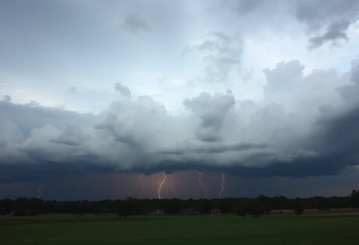
Residents of Aiken and Edgefield counties received an important alert on Wednesday night as the National Weather Service (NWS) issued a severe thunderstorm warning. The warning went into effect at 9:37 p.m. and will last until 10 p.m. This storm comes with some serious winds, with gusts expected to reach up to 60 mph, and to top it off, there’s also the potential for penny-sized hail, measuring about 0.75 inches.
What to Expect
According to the NWS report, the storm was mainly located over Belvedere and was nearly stationary, meaning residents should take this warning seriously. The agency emphasized that there is a risk of damage to trees and powerlines. So, if you live in Aiken, North Augusta, Clearwater, Belvedere, Edgefield, Johnston, or the surrounding areas including USC Aiken, Edgefield County Airport, and more, it’s time to prepare!
Areas Affected
The warning covers a wide range of areas, including several highways. This includes:
- Interstate 20 in South Carolina between mile markers 1 and 20.
- Interstate 520 in South Carolina between mile markers 16 and 23.
The storm’s impact could stretch all the way to Gloverville, Graniteville, Burnettown, Trenton, and even as far as Strom Thurmond High School and Harmony. Given the destructive nature of these storms, it’s crucial to heed safety recommendations.
Stay Safe During Thunderstorms
If you find yourself in the path of the storm, the NWS advises making your way to an interior room on the lowest floor of a building for protection. Avoid windows and exterior walls if possible. Remember, safety first!
More About Thunderstorms
Thunderstorms are no joke. On average, about 25 million lightning strikes hit the United States every year, particularly during the summer months. Unfortunately, these strikes can lead to approximately 20 fatalities annually. It’s important to note that the probability of lightning increases as a storm approaches and peaks when it is directly overhead.
Hydroplaning: A Sneaky Threat
Beyond storms, let’s talk about driving safety. Many might not know about hydroplaning. This occurs when a vehicle begins to slide uncontrollably on wet roads. It happens because water builds up in front of the tire faster than the vehicle can push it aside, creating a slippery layer between the tire and the roadway. Drivers may lose control as the vehicle lifts up onto this water layer.
To avoid this situation, remember these main causes of hydroplaning:
- Standing water on the road.
- High speed when it’s raining.
- Worn tires that can’t grip the road well.
If you do find your vehicle hydroplaning, the best advice is to keep calm. Avoid slamming on the brakes; instead, steer smoothly and gently in the direction you want to go. You’ll regain control as your tires find contact with the road again.
This severe thunderstorm warning serves as a reminder that while nature can be beautiful, it can also be unpredictable and dangerous. Stay safe, and look out for each other out there!