Severe Thunderstorm Warning for Aiken and Edgefield Counties
Hey there, Aiken! If you were outside enjoying the evening air, it’s time to take cover. A severe thunderstorm warning has just been issued by the National Weather Service (NWS) for both Aiken and Edgefield Counties. The alert went up at 9:37 p.m. and will be affecting folks in our area until 10 p.m. tonight.
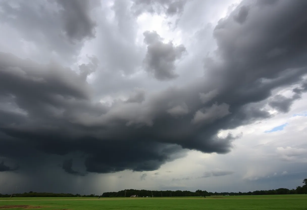
What We Need to Know
So, what’s brewing out there? The storms currently moving through are no joke! They’re bringing along some mean wind gusts of up to 60 mph and hail that’s about the size of pennies (that’s 0.75 inches, if you’re wondering). According to the NWS, at 9:37 p.m., the storm was sitting right over Belvedere and barely moving. This can lead to potential damage to trees and power lines, so it’s important to stay alert.
Locations Under Threat
If you live in or around the following areas, you’re advised to stay indoors:
- Aiken
- North Augusta
- Clearwater
- Belvedere
- Edgefield
- Johnston
- USC Aiken
- Edgefield County Airport
- Gloverville
- Graniteville
- Burnettown
- Trenton
- Strom Thurmond High School
- Poverty Hill
- Colliers
- Vaucluse
- Edgefield Federal Correction Institution
- Lick Fork Campground
- Stevens Creek Public Park
- Harmony
Road Safety Alert
This storm also impacts major roads. So if you’re on the move, particularly on:
- Interstate 20 in South Carolina between mile markers 1 and 20
- Interstate 520 in South Carolina between mile markers 16 and 23
Keep an eye on road conditions, as the weather can change quickly!
How to Stay Safe
As always, your safety is a top priority! The NWS recommends moving to an interior room on the lowest floor of your building. If you can’t get indoors, try to stay as safe as possible by avoiding open spaces and staying away from trees.
Oh, and speaking of being safe on the roads, let’s chat a bit about hydroplaning. With all this rain, it’s definitely something to keep in mind. Hydroplaning happens when your vehicle starts sliding on wet roads. It’s like when a little bit of water gets in front of your tires faster than your car can push it aside, causing your ride to lose traction and control. Yikes!
Remember, when you’re driving in these conditions, avoid speeding and make sure your tires are in good shape. Taking it slow is the best way to reduce the risk of hydroplaning.
Final Thoughts
Stay safe, Aiken! We’ll get through this storm together. Make sure to keep updated with local weather announcements, stay indoors if possible, and take care of one another.
Stay tuned for updates, and remember that weather can change fast—let’s be prepared!