News Summary
A Severe Thunderstorm Warning has been issued for Newberry and Saluda counties until 5:15 PM, with possible wind gusts up to 50 mph. Residents are advised to take shelter and be cautious of hazardous conditions caused by the storm, including the risk of lightning strikes and hydroplaning on wet roads. The National Weather Service is monitoring the situation and will provide updates as necessary.
Newberry, SC
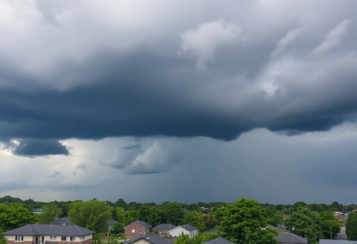
The National Weather Service (NWS) has issued a Severe Thunderstorm Warning for Newberry and Saluda counties, which is in effect until 5:15 PM. The warning was announced at 4:38 PM, with the potential for wind gusts reaching up to 50 miles per hour.
Doppler radar has detected a strong thunderstorm currently situated over Newberry, moving west at a speed of 15 miles per hour. Residents in the area are urged to exercise caution as the gusty winds associated with the storm could down tree limbs and displace unsecured objects. Affected locations include Newberry, Prosperity, Newberry College, Newberry County Airport, Silverstreet, Stoney Hill, Newberry County Detention Center, Scurry Airport, Bush River Fire Station, Hickory Grove, Mid-Carolina High School, and the Belfast Wildlife Management Area. The warning also encompasses a stretch of Interstate 26, specifically between mile markers 68 and 80.
The NWS has advised anyone outdoors to seek immediate shelter inside a building to protect themselves from the severe weather conditions. Thunderstorms can be particularly dangerous, with approximately 25 million lightning strikes recorded annually in the United States, mostly during the summer months. These lightning strikes lead to around 20 fatalities each year, underscoring the risks associated with storms.
Safety Recommendations
As thunderstorms approach, the likelihood of lightning strikes increases, peaking when the storm is directly overhead. To ensure safety during such events, individuals are encouraged to:
- Find shelter inside a sturdy building.
- If no indoor space is available, use specific safety measures to protect against storm hazards.
In addition to lightning dangers, severe thunderstorms can lead to hazardous driving conditions. Hydroplaning, which is the sliding of vehicles on wet roads due to the accumulation of water, is a particular concern during heavy rain. This loss of traction can be caused by standing water in front of tires, significantly increasing the risk of accidents.
Driving Safety Advice
Drivers are reminded to practice caution during rainstorms by:
- Maintaining a safe distance from other vehicles.
- Reducing speed to adapt to changing road conditions.
- Being particularly aware of large vehicles that may create additional risks.
Visibility can decrease considerably during heavy rain, so motorists are advised to use headlights and remain vigilant about slick road conditions, especially during the first 30 minutes of rainfall when roads are most slippery.
Continued Monitoring
The NWS is actively monitoring weather conditions and will provide updates and safety advisories as necessary. Residents are encouraged to stay informed and take precautions to ensure their safety during this severe weather event.
Deeper Dive: News & Info About This Topic
HERE Resources
Severe Thunderstorm Alert Issued for Newberry College Area
Severe Thunderstorm Warning Issued for Newberry and Saluda Counties
Severe Thunderstorm Watch Issued for Columbia, SC
Severe Thunderstorm and Tornado Warnings Issued for Central South Carolina
Severe Thunderstorm Warning Issued in Aiken and Edgefield Counties
Severe Thunderstorm Warning for Aiken and Edgefield Counties
Strong Thunderstorms Headed for Newberry and Fairfield Counties
Newberry, SC Issues Severe Weather Alert
Severe Thunderstorms Sweep Through Newberry and Saluda Counties
Devastating Tornado Outbreak in North Dakota Claims Three Lives
Additional Resources
- Herald Online: Severe Weather Updates
- Wikipedia: Thunderstorm
- The State: Weather News
- Google Search: Weather Alerts
- MLive: Quarter-Sized Hail Alerts
- Google Scholar: Severe Thunderstorm Warning
- Island Packet: Weather News
- Encyclopedia Britannica: Thunderstorm
- WLTX: Severe Weather Forecast
- Google News: Thunderstorm Safety
- MLive: Pea Sized Hail Alerts